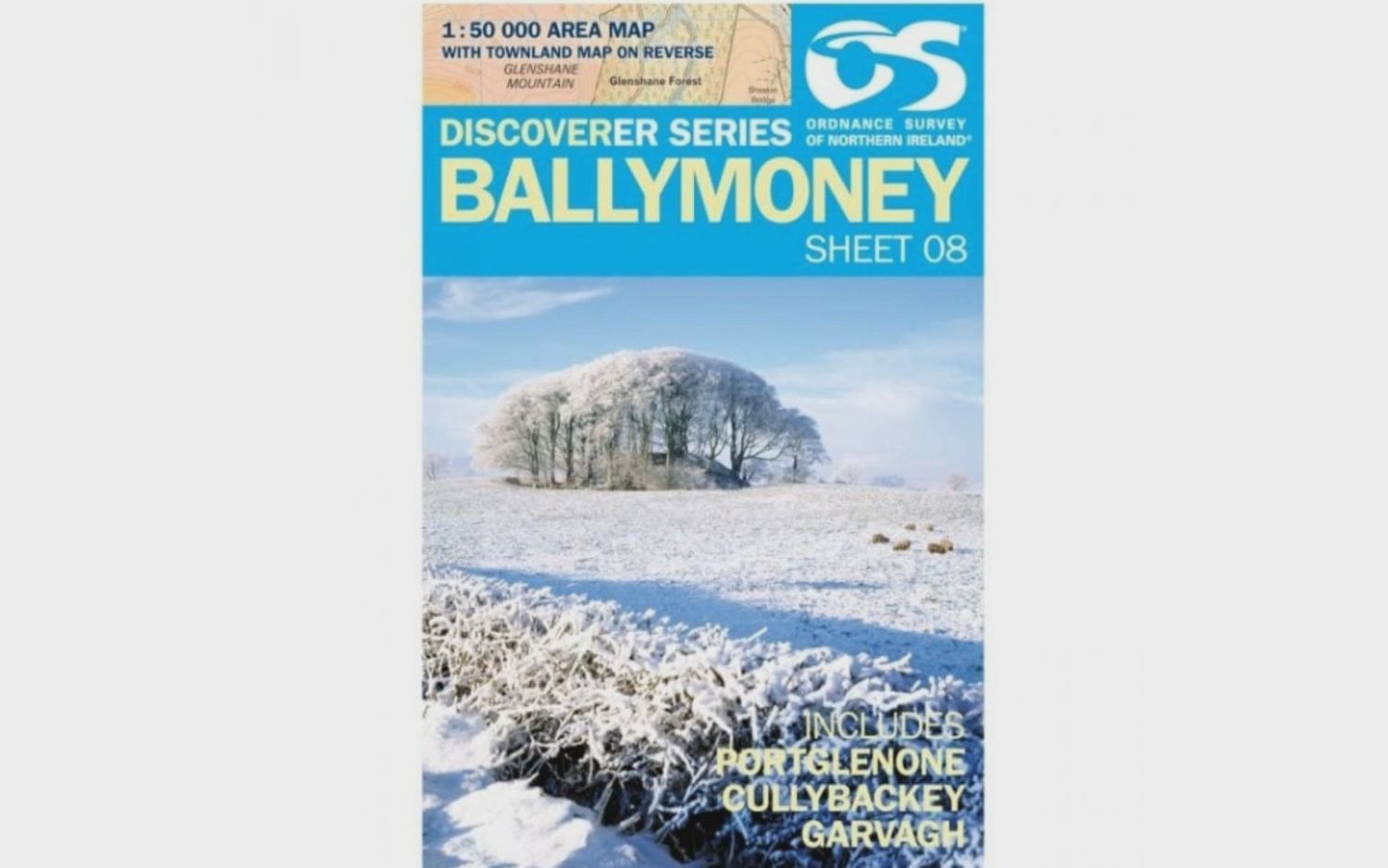
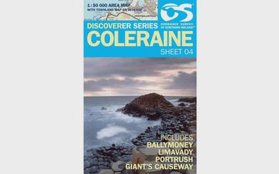
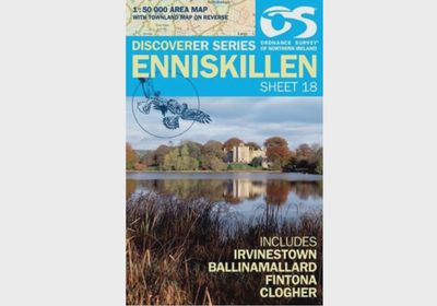
OS Discoverer Series Map Ballymoney 1:50 000 Sheet 08
£8.99
4 payments of £2.25 with
Price incl. VAT (0%) £0.00
Estimated delivery time
Shipping: 3–4 days
In stock
1
Save this product for later
Customer reviews
Reviews only from verified customers
No reviews yet. You can buy this product and be the first to leave a review.
OS Discoverer Series Map Ballymoney 1:50 000 Sheet 08
Product Details
Covering from Bolea and Magherahoney to Glenshane Forest and Ahoghill. This OSNI 1:50 000 scale map of Ballymoney is one of a series numbered on an all-Ireland basis and Ordnance Survey of Northern Ireland is responsible for the design and publication of the sheets that cover Northern Ireland and adjoining parts of the Republic of Ireland. The layout incorporates a number of overlaps. It is the country''s most detailed small-scale map.
You May Also Like
Display prices in:GBP
