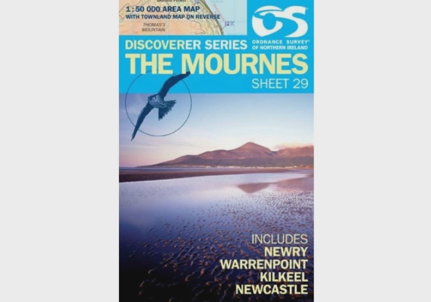
OS Discoverer Series Map The Mournes 1:50 000 Sheet 29
This 1:50,000 scale map is one of a series of eighteen full colour, digitally compiled maps. Land & Property Services (LPS) is the national mapping authority for Northern Ireland and produces and publishes the Ordnance Survey of Northern Ireland (OSNI) range of products.
Each map covers an area of 40km by 30km and includes the Irish Grid, which allows any point or feature to be given a unique Irish Grid reference number. The maps show all road and tourist information intervals. The series is numbered on an all island basis with LPS being responsible for the creation, design and publication of sheets covering Northern Ireland and adjoining parts of the Republic of Ireland.
Exclusive townland feature allows you to find rural addresses with ease. The reverse side of the new Discoverer maps is devoted to townlands. Every Northern Ireland townland on the sheet has been mapped and is accompanied by a fully integrated index.
- Kilkeel
- Newcastle
- Newry
- Warrenpoint
