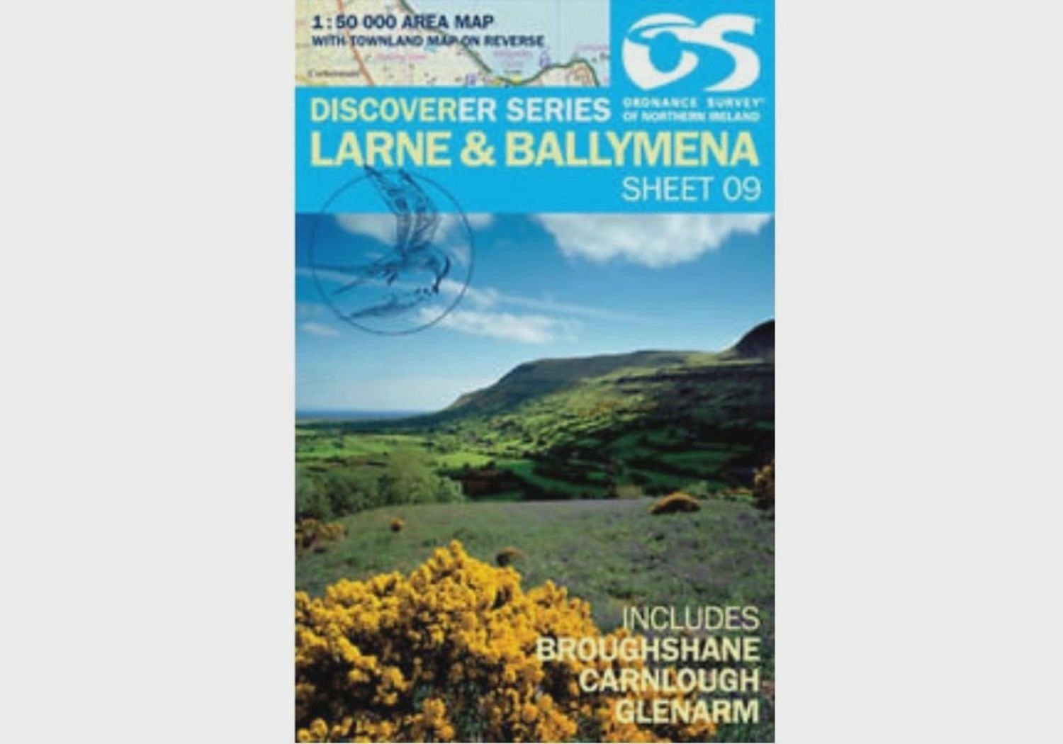
OS Discoverer Series Map Larne & Ballymena 1:50 000 Sheet 9
£10.99
Sold out
4 payments of £2.75 with
Price incl. VAT (0%) £0.00
Sold out
Save this product for later
Customer reviews
Reviews only from verified customers
No reviews yet. You can buy this product and be the first to leave a review.
OS Discoverer Series Map Larne & Ballymena 1:50 000 Sheet 9
Product Details
Covering from Slieveanorra Forest to Garron Point on the coast and from Kells to Mullaghdoo this OSNI 1:50 000 scale map of Larne and Ballymena is one of a series numbered on an all-Ireland basis and Ordnance Survey of Northern Ireland is responsible for the design and publication of the sheets that cover Northern Ireland and adjoining parts of the Republic of Ireland.
- The layout incorporates a number of overlaps.
- It is the country's most detailed small-scale map.
Display prices in:GBP

